Capabilities
Company Capabilities
Pineda Surveying currently employs a 2-man crew equipped with a Leica Robotic Total Station. This setup has been proven to easily handle boundary, topographic, hydrographic (manual methodology), construction and engineering surveys accurately and efficiently. We can add crew and equipment as the need requires.
Capabilities Statement
Over the last couple of decades, surveying equipment and methodology have changed tremendously. The simple transit and tape that started it all can now only be found in collections and museums. This change can be attributed to the advancement in the electronic and computer industry particularly the development of microprocessor and laser technology.
However, the advancement in instruments and methods comes the need for advanced and specialized knowledge in computers, surveying and geodesy. This is where individual surveyors differ in capabilities, efficiency and services offered.
Elmer M. Pineda, PLS has been working on these advanced instruments and methods way before securing and becoming a Professional Land Surveyor (PLS). He started his theory in surveying while studying Civil Engineering in college and beginning in 1994, he had worked using computers, CAD and third party software, various total stations and GPS receivers. He had designed and written computer software and applications in survey documentation and computations using AutoLISP and C/C++/Visual C++ programming languages.
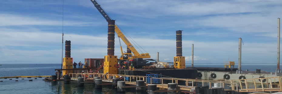
He was involved in both commercial and military projects such as runway, naval wharves, huge subdivision and land development projects before securing his PLS license and starting his own company.